One Long Loop or Several Short Walks?
Choose one long loop or several short walks to match a city day to its geography, rest needs and convenient return points, with clear ways to adapt.

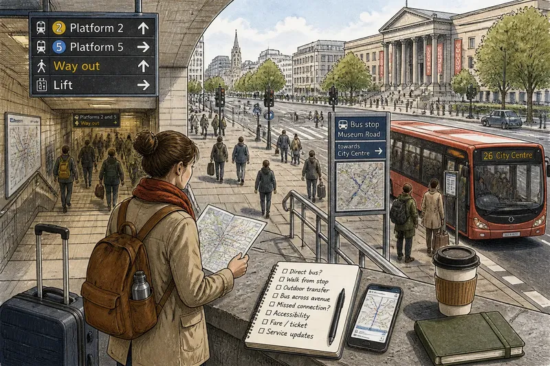
The common mistake in choosing between one long loop and several short walks is comparing lines on a map instead of asking where each route leaves you. A loop can end far from a useful transit stop or place to sit; separate outings can send you back across the same busy streets each time. The cost is practical: extra effort, awkward detours, or a day that never reaches the places you came to see.
What is the route supposed to connect?
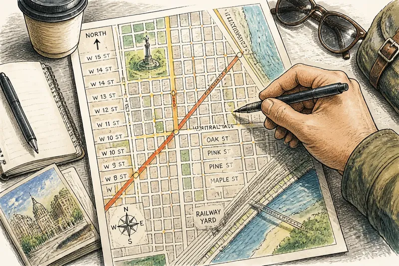
Start with the actual places on your list. Put them on a map and look for a natural sequence: a market, a riverside path and a neighborhood with cafés may form one continuous route, while a museum across town may work better as a separate trip.
A loop is like a string of keys: each stop belongs on the same ring, and the route holds them together. Several walks work better when the stops have separate purposes or when returning to a familiar place makes the logistics simpler.
Say the day’s aim is to cross two adjoining districts and browse the streets between them. That favors a loop. If the aim is to visit a nearby market, return to your lodging, then decide whether to travel to a museum, separate outings make the changes of location explicit.
When does one long loop fit better?
Choose a loop when the destinations follow a connected corridor and returning to your starting point would mean unnecessary backtracking. Waterfront paths, neighboring districts and routes through a succession of public squares can make sense as one outing.
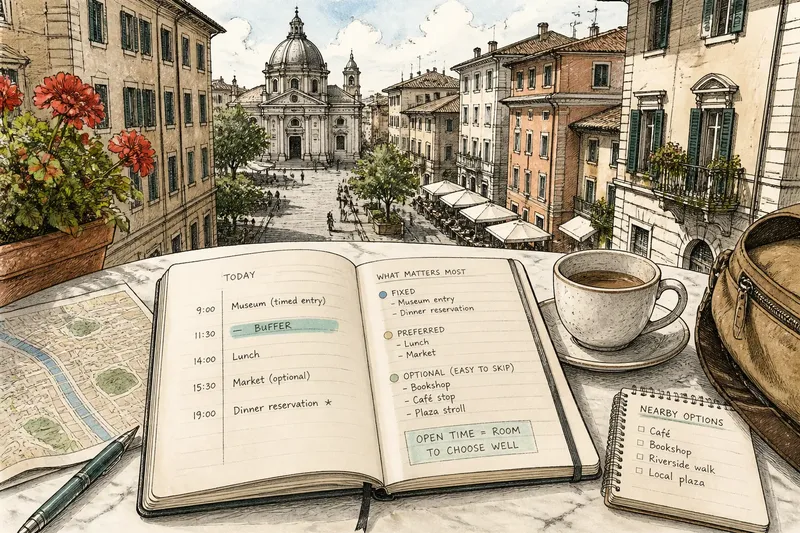
Mark a few useful decision points on a map app or printed city map: a transit stop, a place to pause indoors, and a sensible route back. These are not extra destinations to chase. They show where you can change direction if the route’s conditions or your plans shift.
Imagine you are staying by a central square and want to walk through two adjacent districts before dinner. You mark the square, the districts, a tram stop between them and a café as an optional pause. If the afternoon turns rainy, the tram stop offers a way to skip the second district; if the weather holds, you continue through both and return on foot.
When are several short walks the better choice?
Separate outings make sense when a reliable return point is close to the places you want to see, or when the day naturally divides into distinct destinations. A lodging, a public library or a café you have confirmed will be open can serve as a base, but check access and opening details before relying on a business.
Give each walk a specific purpose: browse the market, explore a cluster of side streets, or reach a park. Check the route back as carefully as the route out. A nearby destination can still be inconvenient if a railway, river crossing or major road makes the return awkward.
Suppose you are staying near a neighborhood square and want to visit a market in the morning and a museum district later. You map a walk from the square to the market and back, then check a transit route from the square to the museum. The result is a clear choice: walk to the market, return, and take transit later if you still want the museum; if you prefer to stay nearby, the second outing can remain local.
How do the two route shapes compare in practice?
Neither shape is automatically faster or easier. Compare the concrete tradeoffs before choosing:
- Backtracking: Check whether the destinations lie along one connected path. If they do, choose a loop; if not, use separate outings or transit rather than forcing a circuit.
- Return point: Check whether your base is convenient and accessible. If it is, consider short walks; if it is distant from the destinations, choose a loop with a practical finish instead.
- Transit access: Check the map for stations or stops along the route. If a loop has a useful exit, keep it as one outing; if no exit is convenient, split the route or plan a return by transit.
- Places to pause: Check whether your route passes an indoor public place or a venue confirmed open. If it does, mark it as a pause option; if not, choose a route with a reliable stop or plan to return to your base.
- Distinct destinations: Check whether each outing has a clear purpose and direction. If the places belong together geographically, connect them in a loop; if they are separate trips, give each its own outing.
- Group preferences: Check whether everyone is comfortable with the same route and endpoint. If so, agree on the loop and an exit; if not, use a base as a regrouping point and keep the next outing optional.
What should you check before setting out?
Use current maps and operator or venue notices to confirm the details that could change your route. For transit, check service interruptions and the nearest useful stops; for a café or museum, confirm its current hours and access information.
For walking, inspect the route for barriers such as a river, rail line, steep streets or a major junction. If a map app gives an unfamiliar route through a place that looks difficult to cross, compare it with a local pedestrian map or choose a more direct crossing.
Keep the route’s endpoint practical. A loop should finish near a useful station, your lodging or another place where you can make a straightforward next decision. For separate outings, check that each return to base is realistic rather than assuming it will be convenient because the map looks compact.
Which route shape fits your situation?
Is a loop or several short walks better for first-time visitors?
Either can work; the map matters more than visitor status. Choose a loop for connected destinations and separate outings when a dependable base makes distinct trips easier to manage.
Can you combine a long walk with a return to base?
Yes. Treat the loop as one outing, then return to your base by foot or transit before deciding on another short walk. That avoids forcing every destination into the same route.
How much of the route should you plan?
Mark the destinations, a practical endpoint and any useful transit stops or indoor pauses. Leave individual street turns open unless a crossing, access rule or scheduled visit makes a particular route necessary.
What if your group wants different things?
Agree on a shared destination and a place to regroup, then make the next outing a separate decision. If the group cannot agree on a common route, a base can simplify the split and reunion.
How can you make the final choice?
Put the destinations on a city map and trace the route between them. If they form a connected path with a practical endpoint and a useful exit, choose a loop; if they divide into separate trips and the base is convenient, choose short walks. If neither description fits cleanly, combine the two: make the best-connected stretch one outing and handle the distant destination separately.
For the choice between one long loop or several short walks, begin with geography, then check crossings, transit and places to pause. The map can tell you whether the route connects; a quick check of current access information can tell you whether the connection is usable.